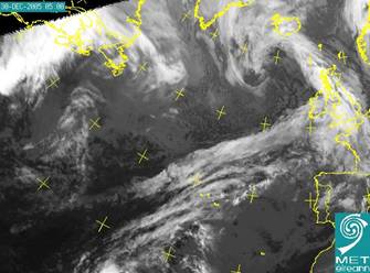

Infra-red images from Meteosat (provided courtesy of Met Éireann) over the North Atlantic area.
A sequence of 24 images at 30 minute intervals covers the past 12 hours.
The sequence is updated every 30 minutes. [Bright areas correspond to low temperatures,
dark areas to high temperature. Time of image (UTC) in top left corner].
II. Radar Images
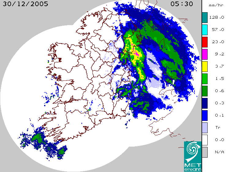
These are composite images from the Met Éireann weather radars at Dublin Airport and Shannon Airport.
A sequence of 32 images covers the past 8 hours with a 15 minute interval. The sequence is updated
every 15 minutes. [Echo intensities are converted to equivalent rainfall rates in mm/hr (see scale).
Date: top left. Time (UTC): top right].
III. Forecast Charts
These charts are obtained from
http://www.wetterzentrale.de.
They are based on forecasts using the
global GFS spectral model of the National Centers for Environmental Prediction (NCEP) in Washington.
They show the predicted development at six-hour intervals over the coming week. They are updated every
six hours. Three sequences are shown:
(A) 500 hPa Geopotential and Temperature, and Surface Pressure
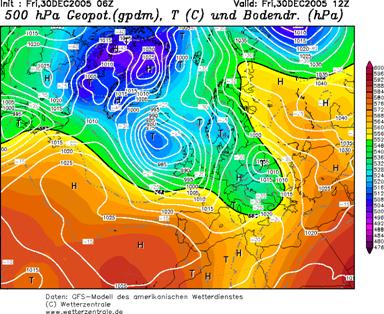
The height (in dam) of the 500 hPa pressure surface is shown in colour (colour bar on right).
he heavy line is at 5520 metres. The temperature of the 500hPa surface is indicated by grey lines
(hard to see). The sea-level pressure (hPa) is shown by the white contours.
[Note: T (Tief) indicates Low pressure and H (Hoch) indicates High pressure.
N.B. The Analysis Time (initial time (UTC) for forecasts) is shown at the upper left corner of each
chart. The Valid Time is shown at upper right.
(B) Sea level pressure, cloud cover and 1000/500hPa thickness

White contours are isobars (every 5 hPa). Coloured lines show the relative topography, the thickness
of the 1000-500 hPa layer (in dam) which corresponds to the mean temperature of the layer. The shading
indicates cloud cover (in %) with white being overcast. Thus, the image resembles a satellite photograph.
[Bodendruck=Sea-level pressure; Wolken=Cloud cover; ReTop=Relative topography].
(C) Rainfall Accumulation
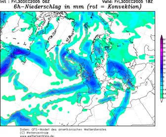
Charts show rainfall (in mm) over each six-hour interval from 0-6 hours to 162-168 hours (i.e. to a
week ahead). A colour bar indicates the level.
[Niederschlag=Precipitation; Konvektion=Convective rain (in red)].
IV. Other Products
Additional data will be included as the system develops. We may include short-range forecasts from the
HIRLAM model run at Met Éireann. We may also show probability forecasts and other products generated by
Ensemble Prediction Systems.
Further information will be posted from time to time on this website.
Comments on MetVue are welcome, to Peter.Lynch )AT( ucd.ie please.
[Version 1, January, 2006]
Meteorology & Climate Centre
School of Mathematical Sciences